Got a Question?
FAQs for you
Q&A about Locating
Everyone has questions. Here are a few of the most commonly asked questions and answers about utility locating, concrete scanning or subsurface investigations. If you have additional questons, please give us a call. As your locating partner, we want to make sure you have all the information you require to proceed with you project.
What's the difference between public and private utility locating?
What is Electromagnetic Utility Locating?
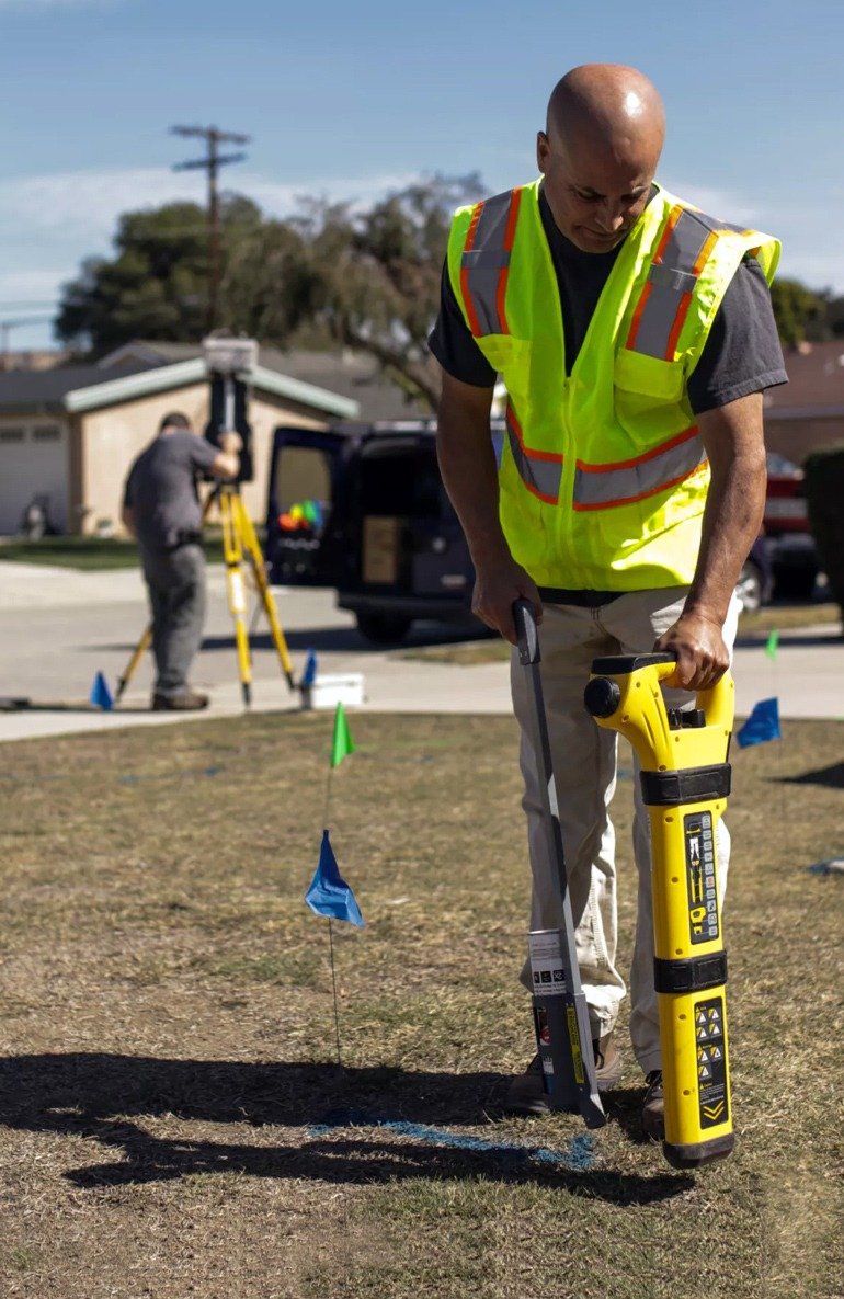
Electromagnetic locators are the most common way to find utilities. They are used on conductive utilities such as phone and electric and on gas or water lines with a trace wire. This method uses a transmitter to apply a radio signal to the buried line, then a receiver is used to detect this signal, pinpointing its location.
Can Electromagnetic Locating be used on live lines?
Yes. By using a clamp around the live wires we can induce a signal while still live.
Also, a direct connection can be made to a ground wire if one is installed.
How do you mark the utilities on the ground?
In general, we will mark the utilities with either paint, flags, whiskers or a combination of them depending on the conditions. We follow the Ground Alliance (CGA) Best Practices and American Public Works Association (APWA) Uniform Color Code.
What is Ground Penetrating Radar (GPR)?
Ground penetrating radar (GPR) is non-destructive method of finding objects that electromagnetic locating cannot find, such as buried UGSTs, manhole covers, non-conductive lines and voids.
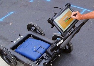
Our GPR tool is about the size of a small lawn mower that we roll around in a precise grid to find the location and direction of buried objects. The GPR sends a radio wave into the ground, detects the reflective response and displays the image on a screen.
Does GPR work everywhere?
Unfortunately, GPR does have some limiting factors to consider when determining how well it will work in certain conditions. These factors include soil type (hard rock or sandy), soil condition (wet or dry), if it has a concrete top layer, and the size and material type of the target being located. Any of these issues could play a part in the response provided by the GPR.
What is the difference between GPR and Concrete Scanning?
The main difference between the two is the size of the system and the frequency of the antenna they use.
A GPR unit is the size of a small lawn mower and uses low frequencies to penetrate the ground. The lower the frequency, the deeper objects can be detected. However, you may lose resolution. The most common frequency range is 250Mhz to 400Mhz.
A concrete scanner is a small, handheld GPR unit using the 1600Mhz to 2000Mhz frequency range to penetrate only a foot or two below the surface with very high resolution.
Get in touch
We’ll help you make your project a complete success. Contact us and we’ll show you how.


