Our Services
Utility Locating
In the growing industry of infrastructure maintenance and rebuilding, utility locating is a crucial and usually mandatory step in construction projects.
Spearhead Locating Services specializes in locating and marking all underground utilities including gas, water, electric, data and sewer lines. We are trained and certified in identifying even the hardest-to-find buried utility. We utilize the latest electromagnetic locating equipment to ensure that your project is being done right.
We also inspect sewer lines and storm drains using our high-resolution inspection cameras to verify the integrity of the lines.
Your peace of mind is our goal.
Concrete Scanning
Concrete scanning is used to accurately identify rebar, post-tension cables and conduit in concrete slabs, decks or walls. Using the latest concrete imaging system available, a specialized, high-frequency hand-held concrete scanner, we deliver high-resolution images of what is beneath your floor. Concrete scanning is both quick and effective.
Knowing where it is safe to core or cut is critical to the success of your project. It is the difference between making or losing money on a project. We are here to help you make money.
Subsurface Investigations
When you need to determine whether you have buried underground storage tanks, manhole covers, non-conductive lines or voids blocking your progress, we’ll use our ground penetrating radar unit (GPR) to find them. GPR locates objects that electromagnetic locating cannot find.
GPR sends a radio wave into the ground, detects the reflective response and displays the image on a screen. GPR can be a very effective tool when the conditions are right. We have the experience and knowledge to ensure that you have all the information needed to confidently proceed with your project.
Underground Cable Fault Detection
Faults on underground electrical cables caused by water damage, ground movement, or accidents during construction can be serious, resulting in extended downtime. Trying to find underground faults in long cable runs yourself can be extremely difficult, time consuming, and frustrating. You do not want to dig until you know exactly where the fault is.
Using our underground cable fault detection tools, we quickly and accurately pinpoint the fault location. Getting the repairs done safely and right away gets you back to work faster.
Utility Mapping
Our GPS/GIS-based Utility Mapping Service offers accurate data collection of the locations of underground utilities. We provide you with a KMZ file that gives you a convenient Google Earth view of your utilities, easily shared with your construction crew on their mobile devices or computer. The results? Improved safety, enhanced efficiency, seamless collaboration, and reduced risk of utility strikes on your construction sites. Say goodbye to the hassle of disappearing markings – you’ll never have to worry about that again!
Are you aware of the latest California regulation 4216.3(a)(5)? “Commencing January 1, 2023, all new subsurface installations shall be mapped using a geographic information system (GIS) and maintained as permanent records of the operator.” Compliance with this crucial regulation is made simple with our GPS/GIS-based Utility Mapping Service, providing you with the confidence that your construction operations are fully aligned with the legal requirements.
Our Service Area
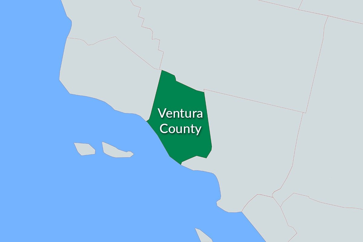
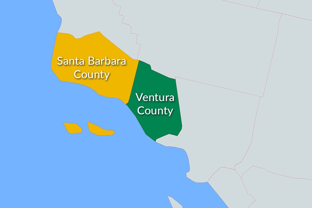
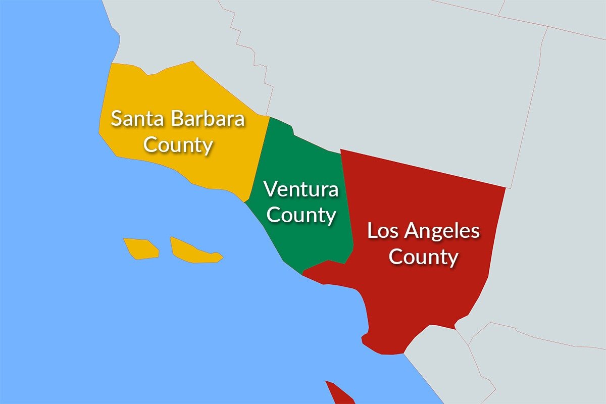
1. Ventura County
2. Santa Barbara County
3. Los Angeles County
Get in touch
We’ll help you make your project a complete success. Contact us and we’ll show you how.


